Your freedom. Our excellence
Hoverfly is specialized in helicopter transfers and tours in southern and central Italy.
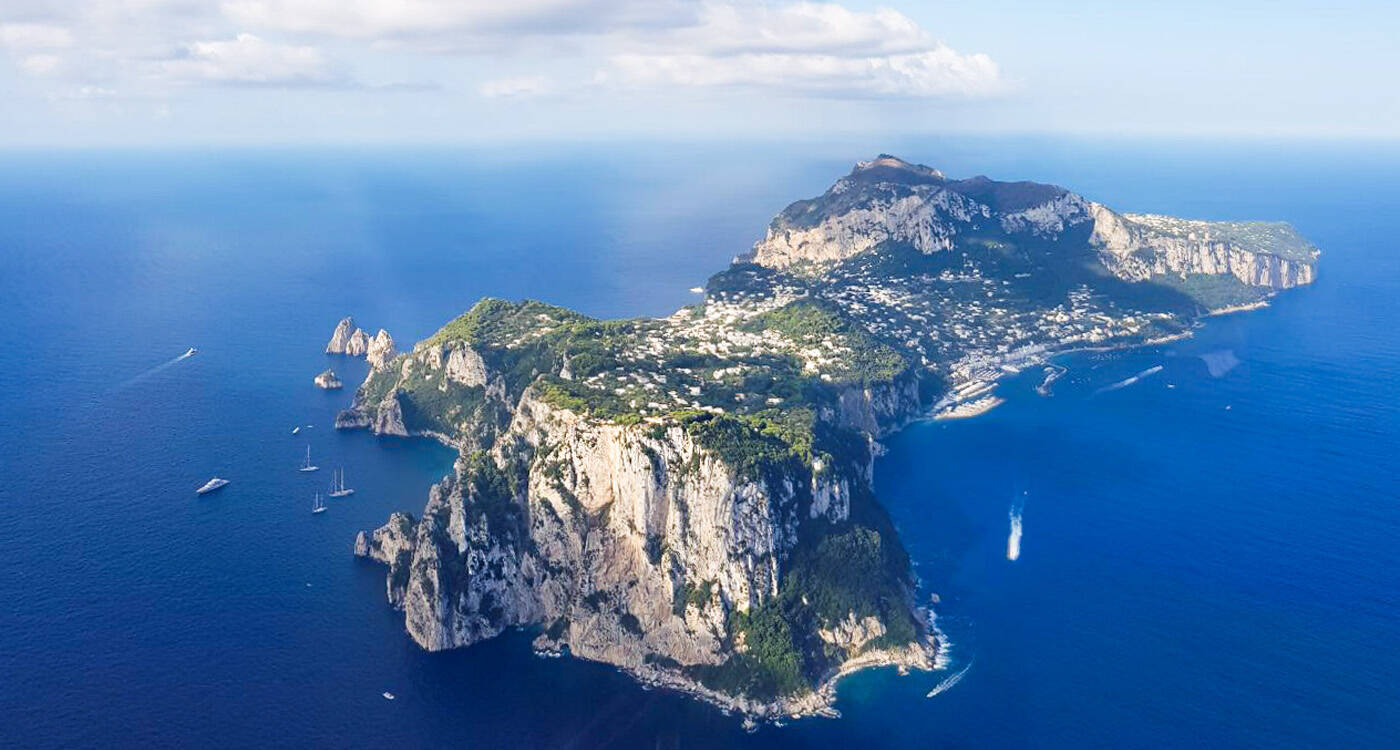
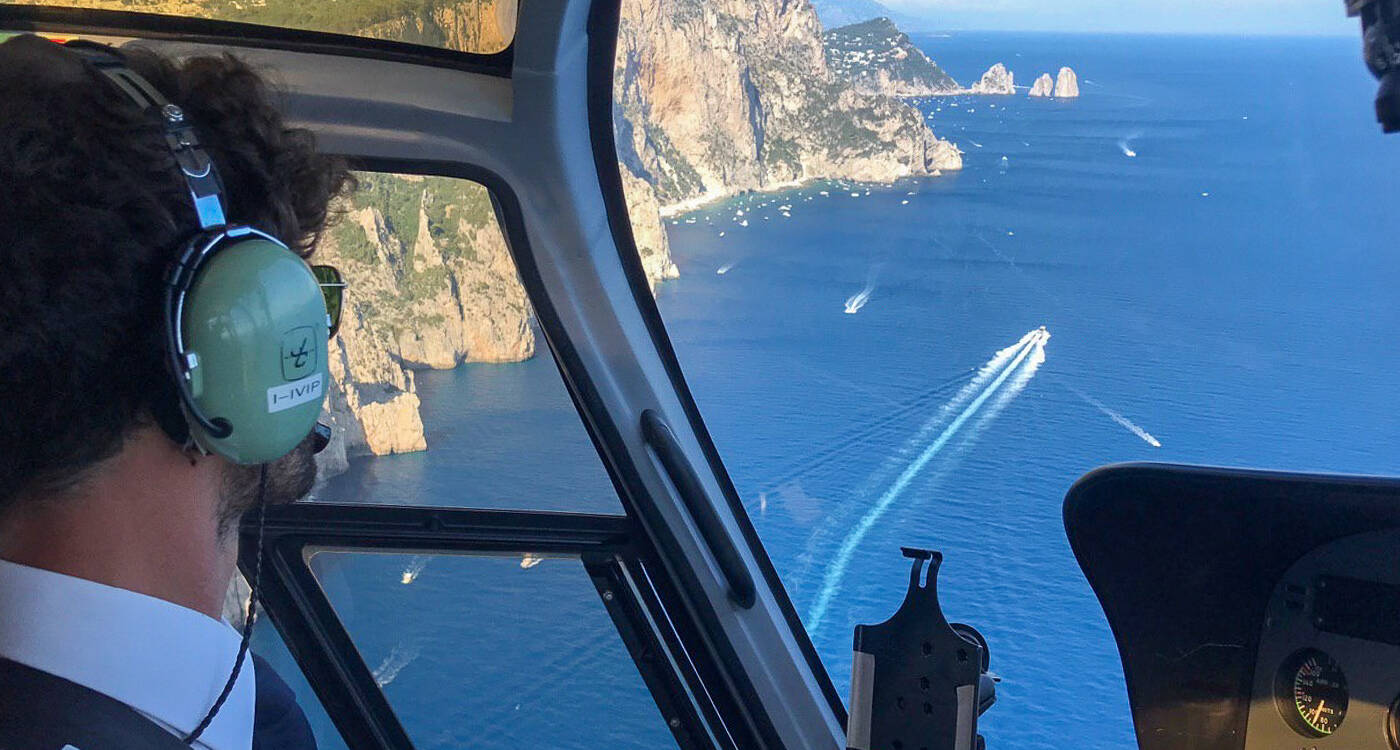
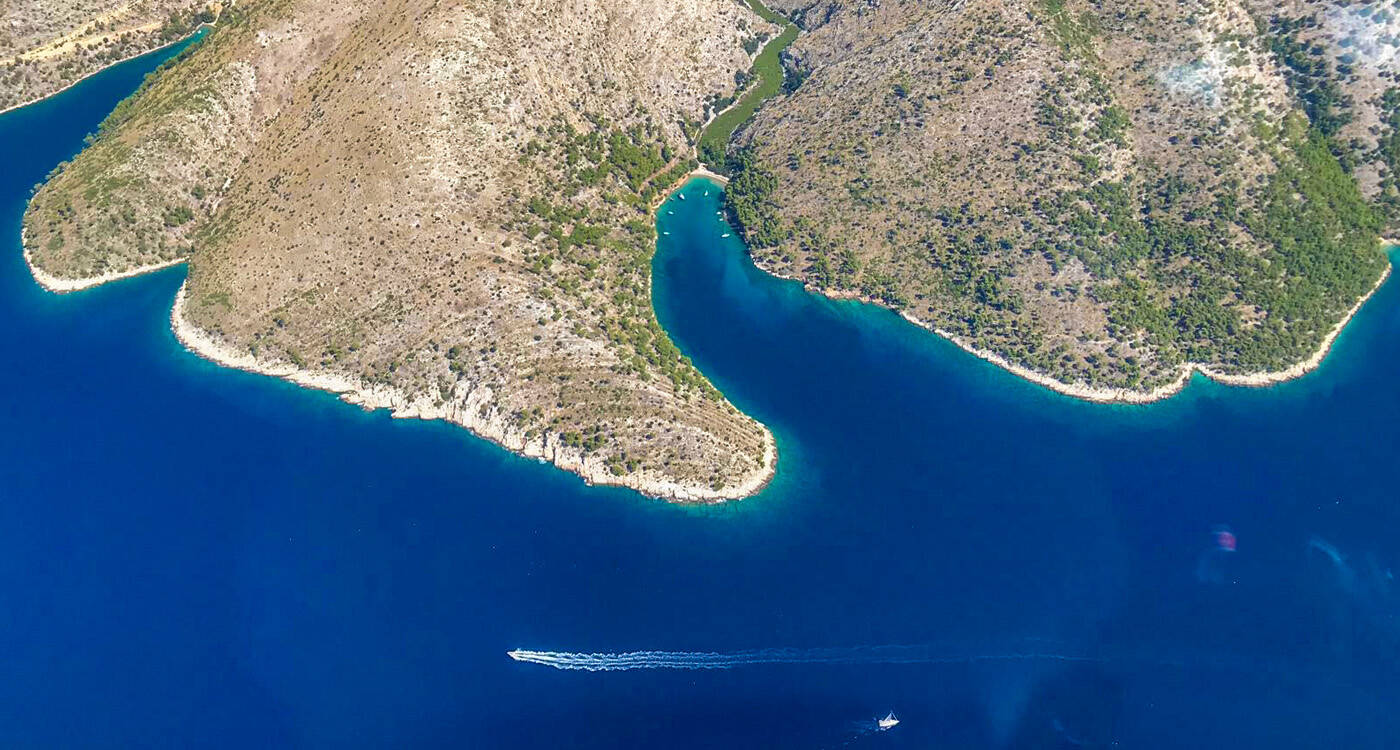
Helicopter travel is the fastest way to travel between top destinations and offers the most breathtaking
bird's-eye views of Capri, the Amalfi Coast, Pompeii and Mt. Vesuvius, and more.
Hoverfly works in the field of transportation services by helicopter and provides an exclusive and qualified heli-taxi service with a specialized fleet. Our executive helicopter service includes VIP amenities.
Our headquarters are located at Via Orazio, 152 Pescara (PE).
The operational base is strategically placed to cover the areas of Milan, Forte dei Marmi, Rome, Naples, and Salerno so we can effectively and promptly satisfy the demands of a clientele looking for comfortable, fast, and safe coverage of the area between Capri/Ischia and Forte dei Marmi.
Hoverfly also has a base at Naples Airport, Massa Cinquale Airport, and Milan Linate Airport.
Choose Hoverfly for your transfers to fly with the helicopter company that provides exclusive benefits and unique services.
HOVERFLY helicopters has been a certified air operator for passenger transportation and aerial work for 20 years. COA and COLA certifications were issued according to the European legislation JAR OPS 3. In addition, the company is certified to perform maintenance work, under European law PART - 145 (certification issued by EASA - European Aviation Safety Agency). Considering that any fixed aircraft system not provided by the manufacturer must be certified by the Civil Aviation Authority and EASA and reported on Form 154 issued by ENAC, Hoverfly has obtained an additional certification concerning the Alternative Procedures DOA (Design Organization Approval).This certification allows the company to develop and submit modifications for approval by EASA (Supplement Type Certificate) for the installation of equipment not foreseen by the helicopter manufacturer and anything else necessary to use systems that allow realizing particular activities.
Hoverfly owns three certificates that permit the company to provide the services for which it is licensed.
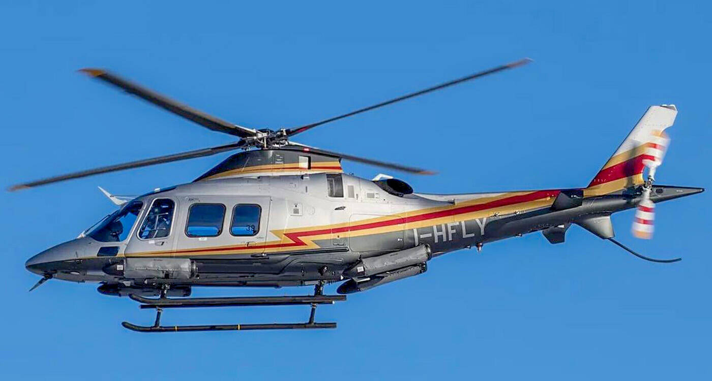
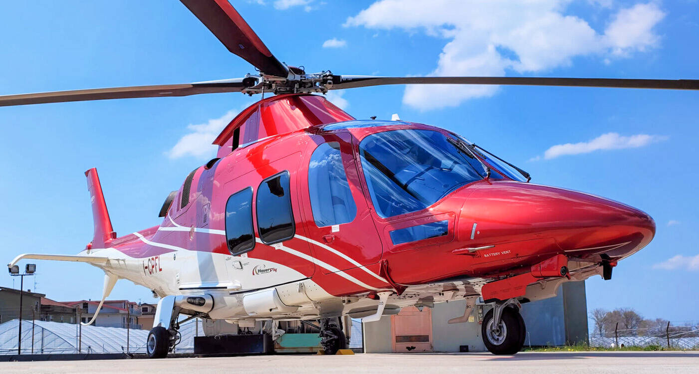
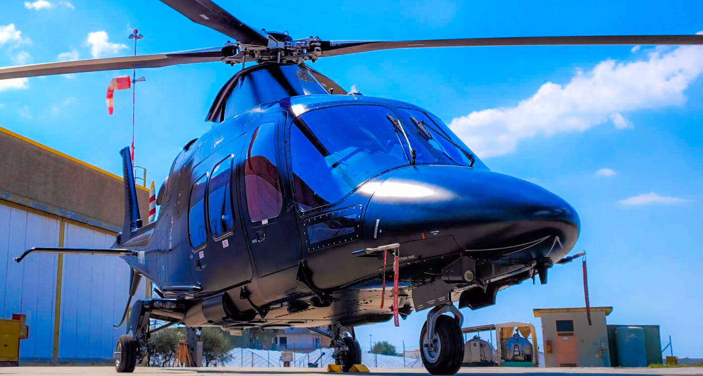
Hoverfly SAM owns different types of aircraft to offer flexible services with regard to the price, to meet different demands, and to grant higher safety in specific flight situations in compliance with the normative regulations.
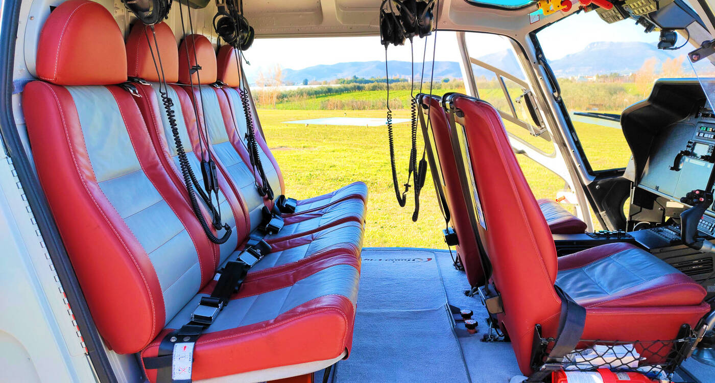
Our helicopters offer comfortable cabins with VIP design and soundproof space.
Contact our staff at info@hoverfly.it and we will take care of all aspects of your transfer by land, air, and sea, with pickup at your hotel, limousine service, luggage transfers, and more.
HOVERFLY is an "Executive Helicopter Service".
A business idea created to make your transfers comfortable and fast.
HOVERFLY headquarters are placed in Via Orazio, 152 Pescara (PE).The operational base are strategically placed in the area: Milano, Forte dei Marmi, Roma, Napoli and Salerno. Such a choice arises from the will of satisfy in the most effective and prompt way the demands of a clientele continuously searching for a comfortable, fast and safe solution in the area of Capri/Ischia and Forte dei Marmi.
HOVERFLY has its base also in Naples Airport, Massa Cinquale Airport and Milano Linate Airport.
Choosing HOVERFLY for your own transfers means flying with the helicopter company which can provide exclusive benefits and unique services.
HOVERFLY helicopters has been a certified air operator for passenger transportation and aerial work for 20 years. COA and COLA certifications were issued according to the European legislation JAR OPS 3. In addition, the company is certified to perform maintenance work, under European law PART - 145 (certification issued by EASA - European Aviation Safety Agency). Considering that any fixed aircraft system not provided by the manufacturer must be certified by the Civil Aviation Authority and EASA and reported on Form 154 issued by ENAC, HOVERFLY has obtained an additional certification concerning the Alternative Procedures DOA (Design Organization Approval).This certification allows the company to develop and submit modifications for approval by EASA (Supplement Type Certificate) for the installation of equipment not foreseen by the helicopter manufacturer and anything else necessary to use systems which allow to realize particular activities.
Hoverfly owns three certificates which permit the company to provide the services for which it is licensed.
Hoverfly SAM owns different types of aircrafts to offer flexible services with regard to the price, to meet different demands and to grant an higher safety in specific flight situations in compliance with the normative regulations.
It allows to travel in a comfortable room with VIP design and soundproof space.
HOVERFLY is "Executive Helicopter Service".
A business idea thought to make your transfers comfortable and fast.